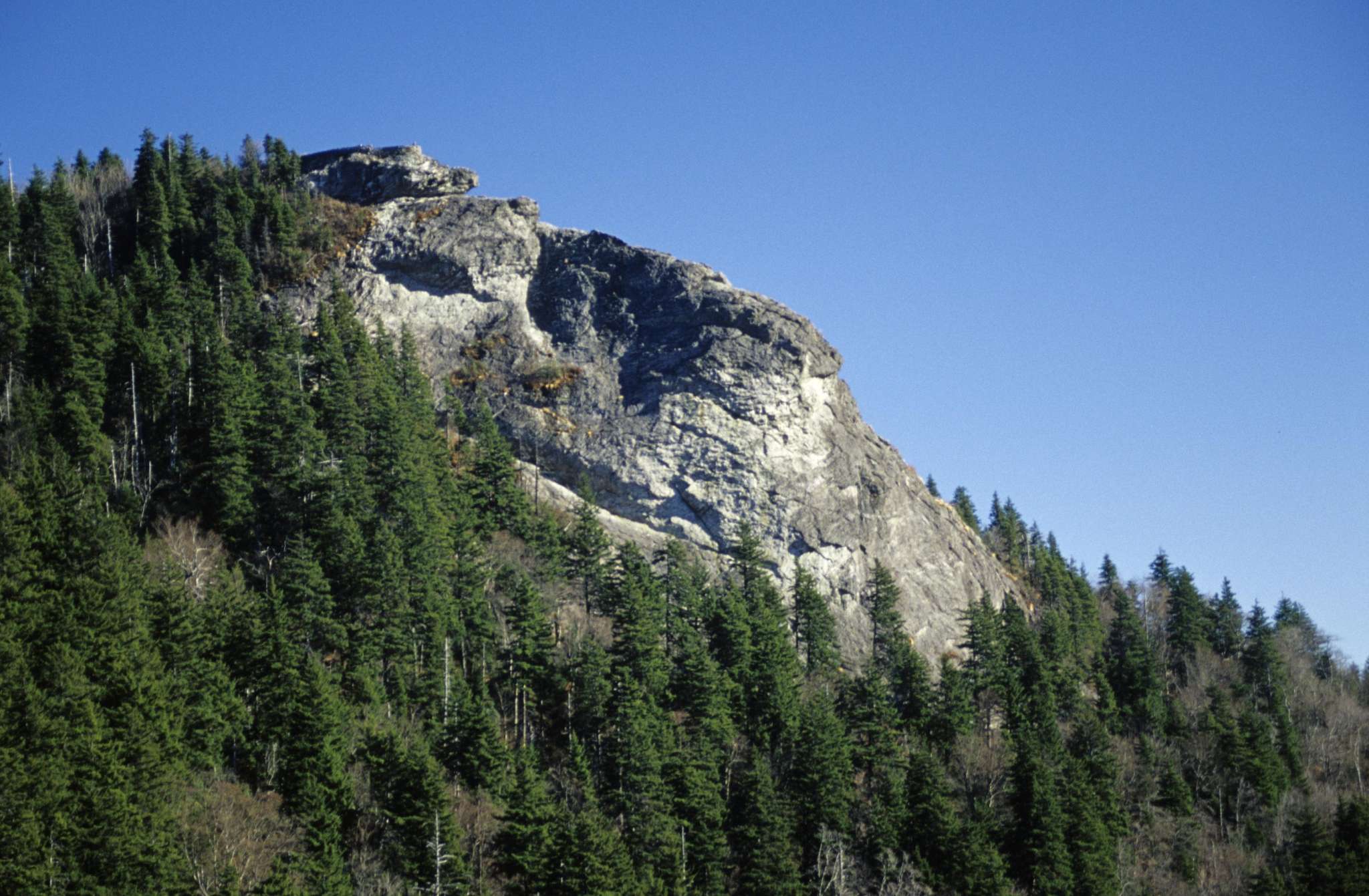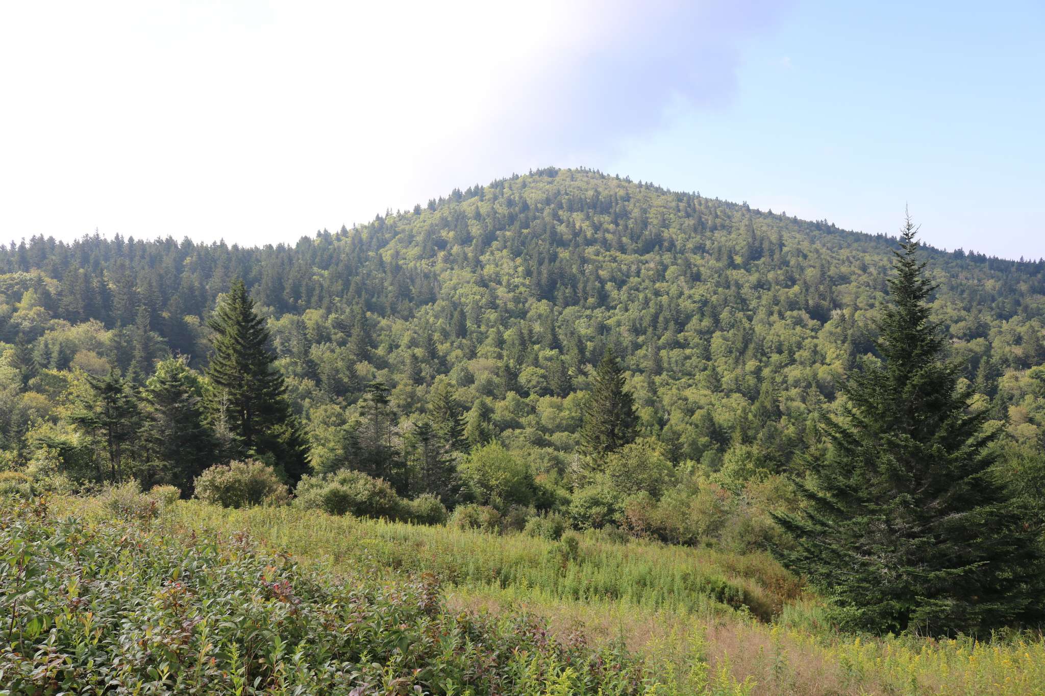
Mount Hardy rises to 6,110 feet in the Great Balsam Mountain range and offers ambitious hikers an exhilarating climb from the Blue Ridge Parkway.
Mount Hardy is located in the Middle Prong Wilderness Area, 7,900 acres in the Pisgah National Forest, which were dedicated as a federal wilderness area in 1984. Thus Mount Hardy is preserved as a primitive, natural habitat for native plants and animals. To protect this isolated environment, hiking groups are limited to ten people who should be experienced wilderness hikers prepared to navigate unmarked routes.
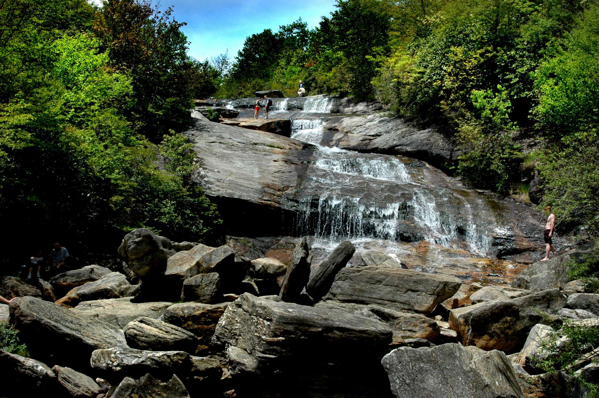
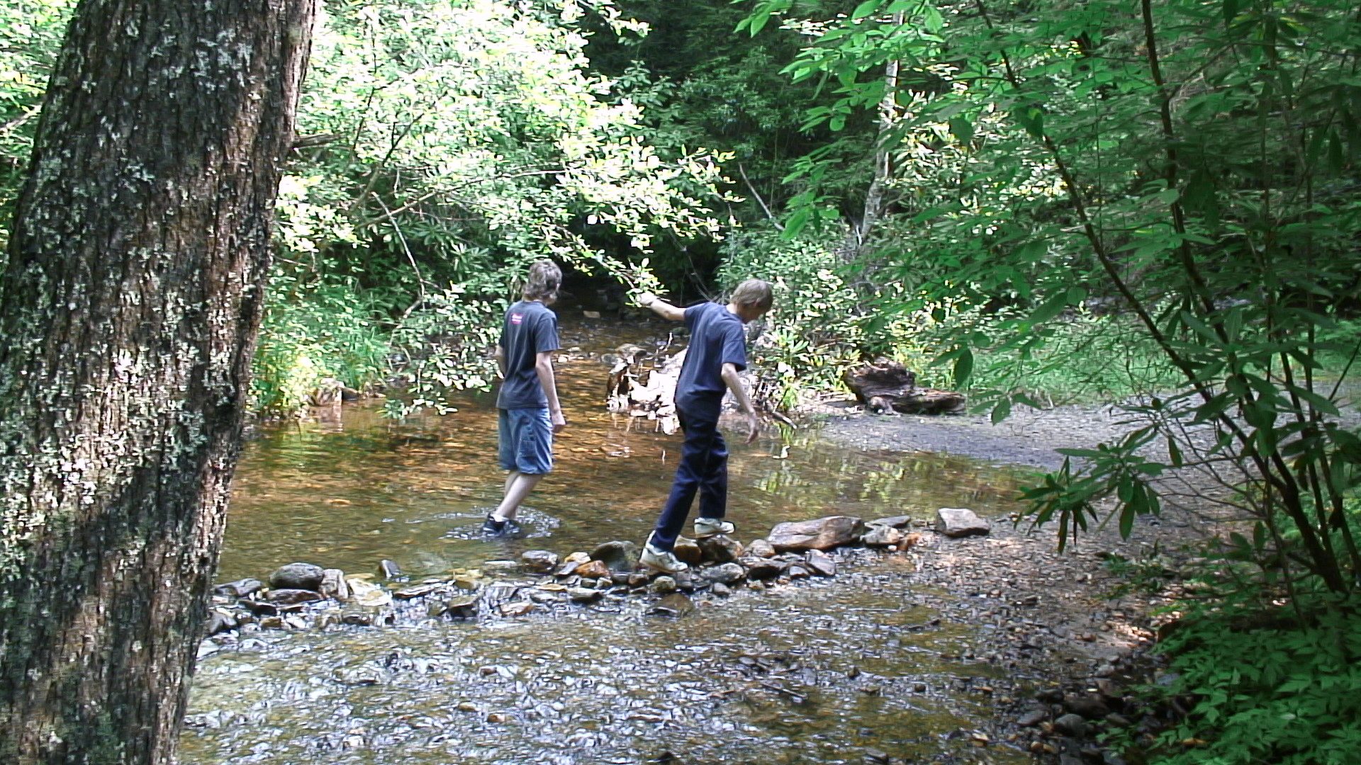
Within this federal preserve, the State of North Carolina has designated 800 acres as the Mount Hardy-Fork Ridge Natural Area, recognizing its biological diversity. Spruce-fir forest can be found at Mount Hardy’s peak, and high-elevation seeps and bogs support rare plant life including pink azalea. Hikers can snack on wild blueberries in the summertime, provided they get there before the black bears, for which the wilderness serves as a sanctuary. Nine miles of trout streams flow through the wilderness of Mount Hardy.
Location
The Mount Hardy parking overlook is located at Blue Ridge Parkway milepost 422.8.
National Forests in North Carolina
(828) 257-4200
Haywood County Tourism Development Authority
1233 North Main Street, Suite 1-40
Waynesville, NC 28786
(828) 452-0152
800-334-9036
Haywood County Chamber of Commerce
Waynesville, NC 28786
(828) 456-3021
877-456-3073


